Square: 13125,4 km2
Population: 1754,4 thousands people (2010)
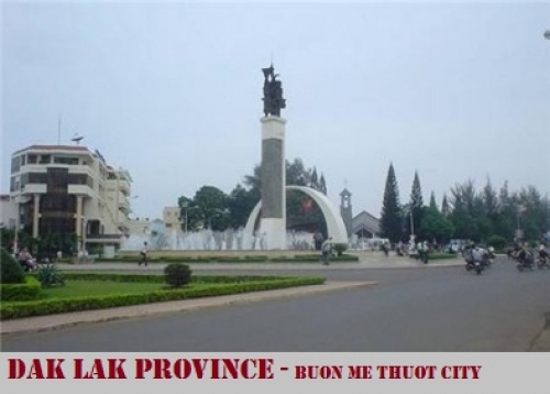
City: Buon Me Thuot City
Districts: 18 districts
OVERVIEW:
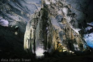
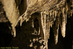
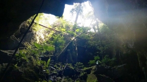
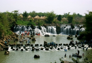
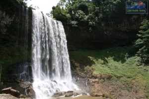
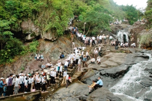
There are beautiful and famous waterfalls such as: Thuy Tien, Trinh Nu, Krong Kmar, Bay Nhanh, among many big lakes such as Lak, Dak Mil. Coming to there, tourists are able to get in the primitive forests of the Chu Yang Sin, Yok Don National parks, visit Buon Don that is a well-known local of hunting and taming wild elephants, or make tour to Dak Lak's historical vestiges like Bao Dai Palace, Yang Prong Tower, Buon Ma Thuot Prison, Dak Tua Cave.
GEOGRAPHY:
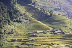
Dak Lak is located in southwest of Truong Son mountains with 11030’–13025’ North latitude and 107030’–109030 East longitude.
The province borders to Gia Lai Province to the North, Lam Dong and Binh Phuoc Provinces to the South, Khanh Hoa and Phu Yen Provinces to the East and Cambodia to the West with 240km of common frontier.
CLIMATE:
Tropical monsoon climate with two distinct seasons. Rainy season lasts from May to October, and dry season lasts from November to April. Average annual temperature is 24C/75F.
TOURISM:
One of strong forces of Dak Lak Province is tourism. There are more and more investments in this field of activities for more efficient deployment. Average growth rate for period 1990-2000 was 30% per annum. In 1995, the province met only 70,100 participations, (4,250 participations of foreign travelers). In 2000, this number increased to 132,550, among which 7,790 man-times of foreign tourists. For the next period, Dak Lak Province has decided that the tourism is a breakthrough industry for the economic structural movement.
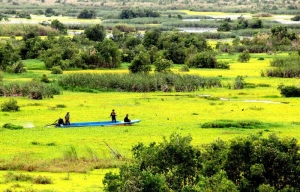
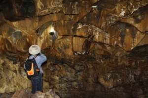
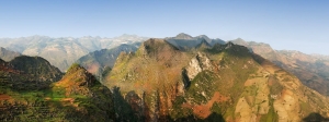
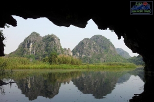
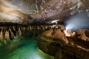
Dak Lak is a mountain province that is rich of big tourist potentiality. There are little places in the world that have so many beauty-spot as in Dak Lak province. The most famous sceneries are world-famous waterfalls such as Dray Sap, Gia Long, Trinh Nu, Krong Kmar, Bay Nhanh, Thuy Tien, Ba Tang..., large lagoons of 200-600ha area such as Lak, Ea Kao, Ea Don, Tay Lakes … suitable for sailing, surfing, fishing, entertainment activities. Coming to Dak Lak, travelers could visit primeval forests with diversified ecological systems and species in Yok Don National Park, Nam Ka Special Forest, Nam Nung, Ta Dung Conservation Zones. Constant development of hunting elephants and other big forest animals from time immemorial has made Buon Don regionally reputed as the brisk trading centre on the Central Highlands. Lac Giao Communal House is the place with stamps of Viet’s people on the highland. There are private palace of ex-imperator Bao Dai, Yang Prong Town – the Cham’s construction built in XIV century, Buon Ma Thuot Prison, Dak Tuor Cave, provincial museum in the center of Buon Ma Thuot City with small rough model of Buon Ma Thuot Victory in the all-out attack in the historical spring of 1975… Particularly, if Buon Ma Thuot City is taken as center, then almost all beautiful spots and relics of Dak Lak Province are within a circle of radius less than 50km that is very suitable for tourism.
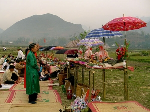
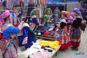
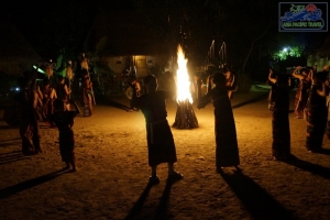
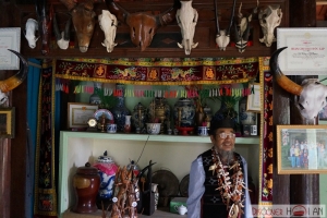
On the other hand, Dak Lak is famous by its rich and multiform culture of customs and habits. There are not only imposing cultural heritage of native ethnic groups such as Ê dê, M’nông with remarkable epics such as Dam San, Dam Bri, Xinh Nha, genie lunar New Year pole, but also valuable tangible cultural heritages dan da (stone musical instrument), gongs.
TRANSPORTATION:
Dak Lak has important national roads such as National Highway 14 from Da Nang via Buon Ma Thuot City to Ho Chi Minh City, National Highway 26 to Nha Trang, National Highway 27 to Da Lat, National Highway 28 to Phan Thiet. Dak Lak also has airport connecting Ho Chi Minh City, Da Nang, Hanoi and quite large internal inland roads.
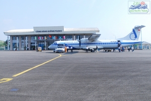
Buon Ma Thuot Airport at the present performs two main routes: Buon Ma Thuot - Da Nang - Hanoi, Buon Ma Thuot - Ho Chi Minh City
Current inland roads system consists of:
+ National Highways: There are 5 lines with total length of 700.2km, in there:
- National Highway 14 of 272km long and national Highway 26 of 119km. Roads of mountain III level with asphalted surface and permanent drainage.
- National Highway 27 of 83.2km long. Roads of mountain IV level with asphalted surface and 28.2km of permanent drainage
- National Highway 28 of 58km long and National Highway 14C of 168km. Roads of mountain IV level. At present roads are with soil surface and temporal bridges and sewers with asphalted surface and permanent drainage sewers.
+ Provincial roads comprise 16 lines with total length of 610km of IV level mountain roads, in there 151km are asphalted, 30km are covered by asphalted concrete and 117km are covered by gravels. 44 bridges with 716m length are permanent and 44 temporary bridges of 560m long.
+ District roads consist of 77 lines of 806km long mainly of IV and V mountain level. Among them 61km have been asphalted, 178km covered by gravels, the remaining are soil covered. Eleven bridges of 108m long are permanent.
+ Urban roads have 109.5km length, in which 54km asphalted.
+ Roads in rural areas have length of more than 4400km. They mainly are covered by soil with about 200 bridges of 1200m long.
Average density of automobile roads on natural area is 0.435km/km2, in average, ration of automobile roads to 1000 people is 0.506km/1000 persons.


