Square: 5,217.6 km2
Population: 1167,7 thousand people (2010)
City: Nha Trang City, Cam Ranh City
Districts: Van Ninh, Ninh Hoa, Dien Khanh, Khanh Vinh, Khanh Son, Truong Sa, Cam Lam.
OVERVIEW
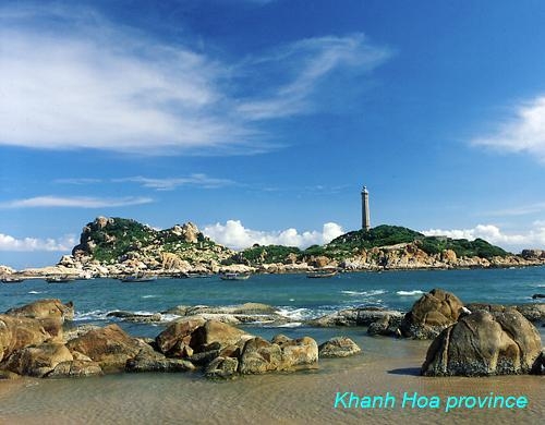
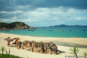
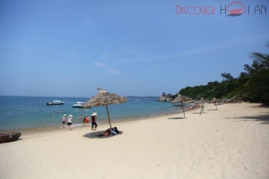
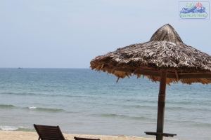
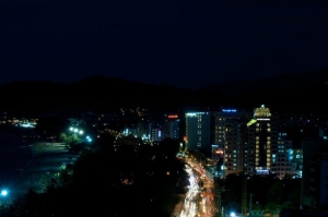
Khanh Hoa is a South Central Coastal province of Vietnam. It is well known by the attractive beauty of its own capital – Nha Trang. Among its 3 bays, Nha Trang ranks first thanks to 100% pristine beaches, excellent view, gorgeous islands, mountains, and rivers.
HISTORY
The site of what is now Khánh Hòa had been within the territory of the Champa Kingdom before it was annexed to Đại Việt's (Viet Nam's) territory. In 1653, one of the Nguyễn lords, Nguyễn Phúc Tần, sent his troops to occupy Phan Rang. The Champa king Bà Tấm surrendered to Nguyen's troops and ceded an area from the east of the Phan Rang River to Phú Yên to the Nguyễn lord. The Nguyễn lord accepted the ceded territory and set up the Thái Khang garrison and divided it into two districts: Thái Khang and Diên Ninh.
In 1832, under the rule of emperor Minh Mạng, this area was renamed Khánh Hòa and was divided into two districts which included four counties: Phủ Diên Khánh inclusive of Phước Điền and Vĩnh Xương county; Phủ Ninh Hòa inclusive of Quảng Phước and Tân Định county.
Under French Indochina, the provincial capital was located in Diên Khánh Citadel, but it was relocated in Nha Trang Town in 1945.
After the communists' victory and the Fall of Saigon on April 30, 1975, the united government merged two provinces, Phú Yên and Khánh Hòa, into Phú Khánh Province on 29 October 1975. In 1977, Nha Trang Town was upgraded to city status. In 1982, the National Assembly decided to incorporate the Spratly Islands into Phú Khánh Province. On June 30, 1989, the National Assembly reversed its previous decision and split Phú Khánh Province into two provinces as they were before.
GEOGRAPHY
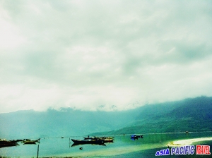
Khanh Hoa Province is a coastal province of South Central Vietnam. To the north, it borders on Phu Yen Province, to the west, on Dak Lak and Lam Dong provinces, and to the south, on Ninh Thuan Province. The Khanh Hoa coast is 200km long, with more than 200 islands offshore, of which Truong Sa District gathers over one hundred islands around. The two largest rivers flowing through the province are the Cai and Danh rivers. Khanh Hoa represents one of the deepest seas in Vietnam, adjoining open oceans and international marine routes. With ragged seashore spreading out around 200km long, it contains various well-known bays, such as Cam Ranh, Van Phong and Nha Trang. Cam Ranh Bay is considered as one of three harbors that have the best natural conditions over the world. Having the area of over 60 square kilometers and the 18-20m average depth, this bay is out of the wind as a result of being surrounded by many mountain ranges. Van Phong Bay has a wonderful nature, temperate climate, idyllic beach with mostly fine sand, surrounded by hills, mountains and tropical forests, colorful coral reefs, several vestige of salt-watered forest, specific and valuable sea creatures, which is endowed with an ideal environment. These are great potentials for the development of ecological tourism in Van Phong.
CLIMATE
Khanh Hoa has a tropical monsoon climate with an average temperature of 26.5ºC. The rain season lasts 4 months (from September to December). But for the region around Nha Trang City, the rainy season lasts only 2 months, thus providing very favorable conditions to develop a long-lasted tourism season and organize year-round tourist activities. Particularly, on the Hon Ba Mountain (30km from Nha Trang), the climate likes in Da Lat and Sapa.
TOURISM
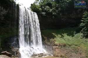
Khanh Hoa has been deeply marked by the strong ancient culture of the Cham. Until today, Champa Kingdom has left an invaluable inheritance of ruins and historical sites to visit. Khanh Hoa is endowed with beautiful natural sites and sand beaches. Visitors will enjoy the group of five or six islands situated close to each other. The largest of the islands is Hon Tre, which is located 3km from Nha Trang.

Nha Trang Ocean - Khanh Hoa Province
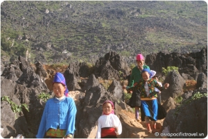
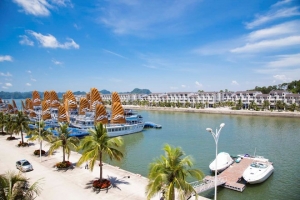
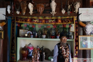
The city of Nha Trang has long been renowned for being a sea resort with plenty of historical vestiges and wonderful sceneries: Cham Po Nagar Towers, Long Son Pagoda, Ba Vu Mausoleum, Bao Dai Palace, Hon Chong, Hon Yen, Tri Nguyen Fish Pond, Bai Tru, Suoi Tien, Dai Lanh Beach... and many islets offshore. Nha Trang Bay has been recognized as one of 29 most beautiful bays in the word since 7/2003.The population mainly constitutes Kinh people, as well as a small percentage of Ra Glai, Tay, Nung, Muong, and Cham.
TRANSPORT
Various forms of convenient transports are available.
- Road: The National Highway 1A and the railway from north to south run through Khanh Hoa Province, linking it with the other provinces in the North and South. The National Highway 26 links Khanh Hoa to some provinces in the Central Highland. Nha Trang is 105km from Phan Rang, 190km from Buon Ma Thuot, 205km from Da Lat, 238km from Quy Nhon, 441km from Ho Chi Minh City, and 1,278km from Hanoi.
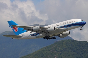
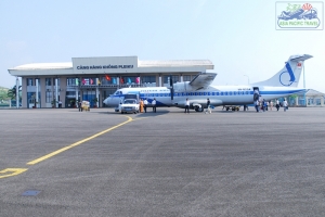
- Airlines: Nha Trang Airport is 5km from the center of the city. Vietnam Airlines offers daily connections with Ho Chi Minh City and Hanoi, and four connections a week with Da Nang. Cam Ranh Airport is 35km south of Nha Trang has flights from Hanoi, Ho Chi Minh City and Da Nang to there.
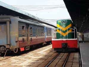
- Train: Regular connections between Hanoi and Ho Chi Minh City all stop in Nha Trang, daily train between Ho Chi Minh City and Nha Trang.
- Bus: There are connections with Da Nang, Ho Chi Minh City, Hue, Vinh, Pleiku... Minibus for Hoi An, Hue, and Da Lat...
- Water: Cam Ranh and Nha Trang ports connect Khanh Hoa with many regions in Vietnam as well as with abroad.


