Square: 8,331.2 km2
Population: 735,600 people (2010)
City: Lang Son City.
Districts: Trang Dinh, Van Lang, Van Quan, Binh Gia, Bac Son, Huu Lung, Chi Lang, Cao Loc, Loc Binh, Dinh Lap.
OVERVIEW
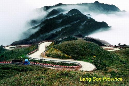
Lang Son is a northeastern province which is located on the Sino-Vietnamese border over a stretch of 253km. The capital of Lang Son, 500m above sea level, is situated on the left bank of Ky Cung River. Opposite the town and on the far side of the river is Ky Lua Market. The market is accessible by means of the Ky Cung bridge. Standing on the bridge, visitors can see a high mountain peak resembling a woman with a baby in her hands.
HISTORY
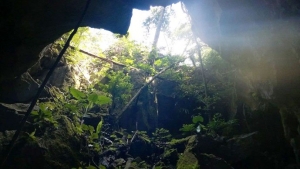
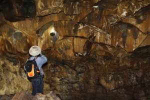
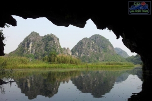
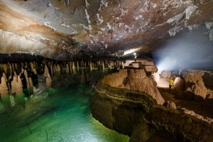
History of the province is the history of Lang Son town. Ancient history is traced to the Bronze Age. This period is marked by the trade route that existed between China and India that passed from the Red River Delta through Nanning to Guangzhou. 7000–9000 years ago the limestone caves of the province were inhabited by early settlers of the Bac Son culture.
The Dinh kings (968-980) encouraged the growth of trade in the region and requested to the Sung emperors of China that they establish trade relations at Yong Zhou.The Chinese Annals have revealed that the Vietnamese trades perfumes, elephant ivories, rhinocerous horns, gold, silver and salt in return for Chinese fabrics. Later, under the ly Dynasty an extensive market was established at Vinh Binh on the Ky Cung River.
During the reign of the Ming Dynasty, during the period 1527 and 1592, Lang Son was vastly fortified in view of its strategic importance at the border, which are seen even now; a citadel of this dynasty is located to the west of the Lang Son town on a lime stone rock outcrop.
Lạng Sơn was one of the 13 original provinces in northern Vietnam that were created under the reign of Emperor Minh Mạng in 1831; since the establishment of the Nguyen Dynasty in 1802 until then, northern Vietnam had been under the rule of a viceroy.
GEOGRAPHY
Lang Son is a frontier mountainous province in the North-East of Vietnam. It shares border with Cao Bang Province on the south, Bac Giang Province on the north, Guangxi (China) on the east, Quang Ninh Province on the north-east and Bac Kan, Thai Nguyen provinces on the west.
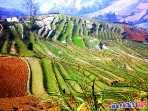
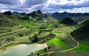
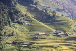
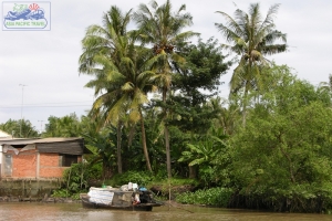
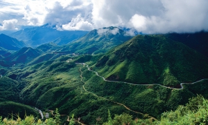
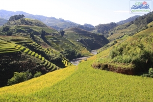
Mountains and hills cover over 80% of the province's total area. The complex network of rivers makes a good condition for agriculture. Main rivers that run through the province are: Ky Cung, Ba Thin, Bac Giang, Bac Khe, Thuong, Hoa, and Trung rivers.
Lang Son has two international border gates including Dong Dang railway border gate and Huu Nghi road border gate, two national border gates such as Chi Ma (in Loc Binh District) and Binh Nghi (in Trang Dinh District)... So Lang Son has an important strategic position in the North-East of Vietnam.
CLIMATE
The climate is cool and temperate. Annual average temperature is 21.5ºC. Annual average rainfall is from 1200mm to 1600mm.
TOURISM
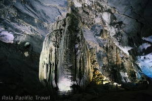
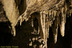
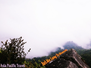
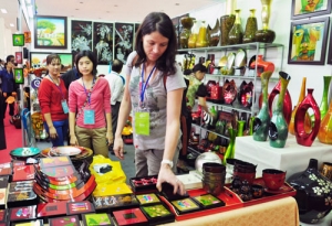
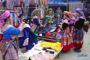
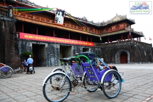
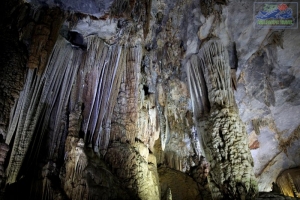
Lang Son has potentiality of mineral, forestry, tourism and trading. Star aniseed (hoa hoi) is a specialty. The province is proud of many culture and historical vestiges. They are Rampart of Mac Dynasty, Doan Citadel Vestige, Chi Lang Defile, Ky Cung and Bac Le temples. Apart of these, Ky Lua Market, To Thi and Mau Son mountains, Tam Thanh, and Nhi Thanh grottoes also attract many visitors every year. Especially, lots of people come to Ky Lua and Tam Thanh markets to shopping because the goods are abundant and cheap.
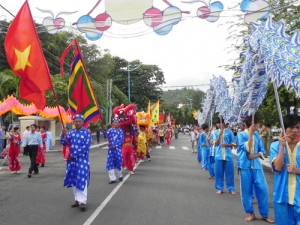
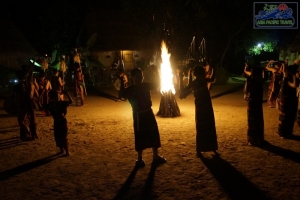
Coming to there, tourists are interesting in Ky Lua or Long Tong traditional festivals. They would like to taste special dishes: roast duck, roast pig, Mau Son wine and lam rice.
TRANSPORT
Lang Son is 154km from Hanoi, 60km from Thai Nguyen, 48km from Quang Ninh, 55km from Cao Bang, 73km from Bac Kan.
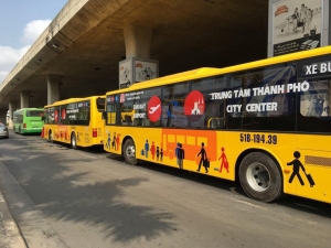
Road: National highway routes on the territory of Lang Son province:
- No.1A: It departs from Huu Nghi Quan (Friendship Gate) and runs through Lang Son Province to Hanoi.
- No.1B: between Lang Son and Thai Nguyen.
- No.4B: between Lang Son and Cao Bang.
- No.4A: from Lang Son to Mong Cai Town of Quang Ninh Province via Tien Yen Townlet.
- No.31: between Dinh Lap and Bac Giang
- No.279: Binh Gia of Lang Son Province to Bac Kan.
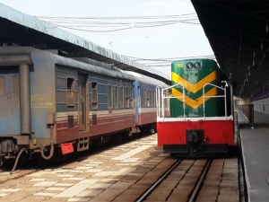
Train: Hanoi-China international railway line with over 100km runs through Lang Son


